Santorini Geography
The Santorini group of islands (map) consists of Thera, Therasia, Aspronisi, Palea, and Nea Kameni (Volcanoes) islands. It is located in the most southern part of the Cyclades group of islands in the Aegean Sea, about 117 km (63 nautical miles) north of Crete and about 200 km (108 nautical miles) southeast of Greece’s mainland.
The surface area of Santorini island group is 73 sq. km. and its population is 15.457 people, according to the 2021 census. For a quality, hard copy, map of Santorini that includes information on existing hiking trails, please check this product on our e-shop.
SANTORINI E-SHOP
Landscapes of Santorini
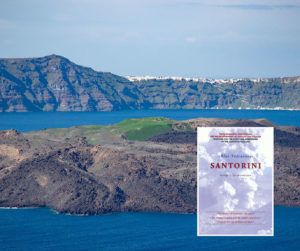
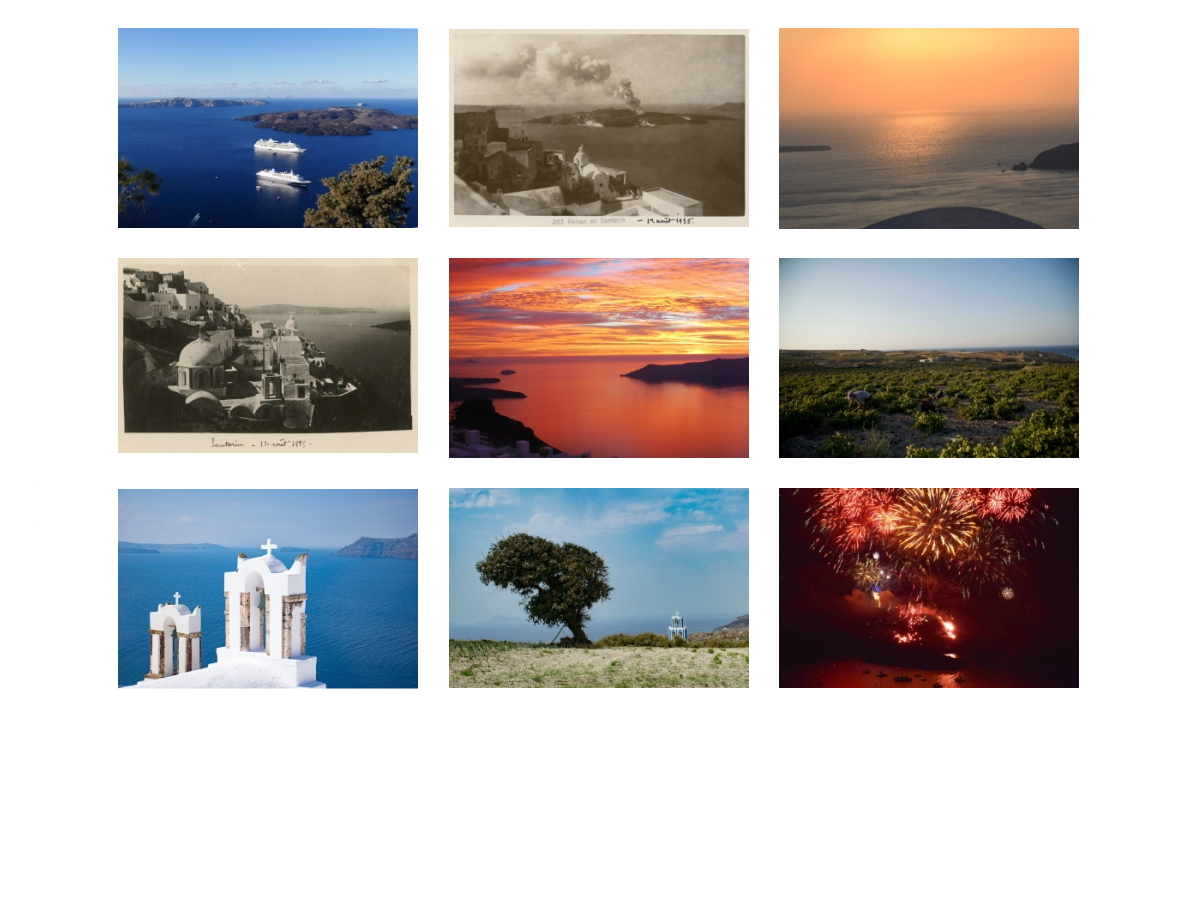
Since you are interested in the Geographical aspect of Santorini, we speculate that you may also be interested in the scenic landscapes being lavishly offered by this volcanic island. It is widely admitted that Santorini is a place where the natural environment integrates with the man-made features in such a way that the resulting landscape imposes unforgettable sensations and emotions on visitors. In the section below, you will be able to explore a substantial photo gallery of Santorini as well as to get a glimpse of the caldera view from our Live Webcam. Even more, if you have some time to spend, you will be able to watch a video from Santorini or to shop Santorini’s products on our comprehensive E-shop.
Official video from the promotional campaign “Santorini the One”. Video title: “General”

